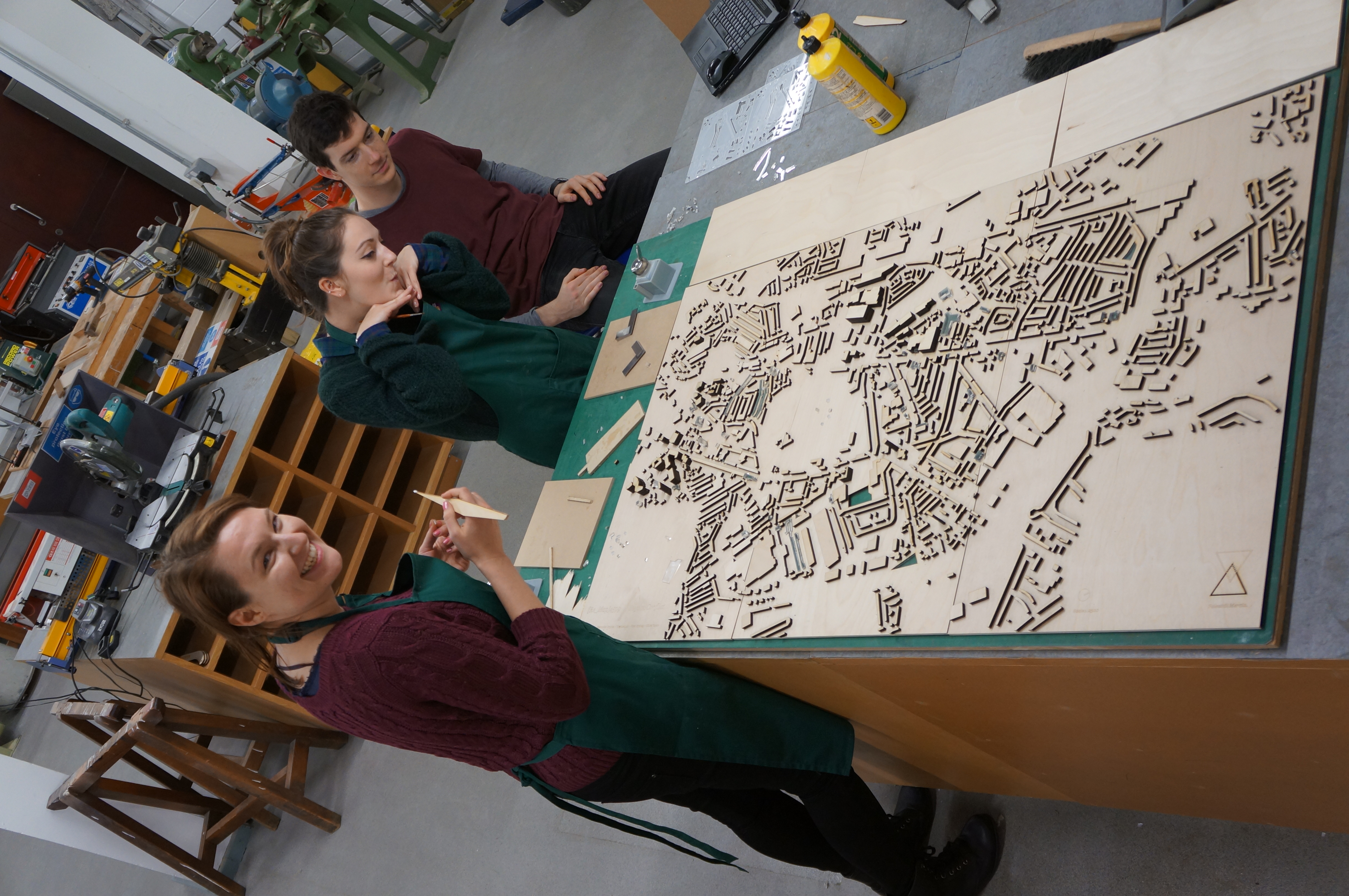
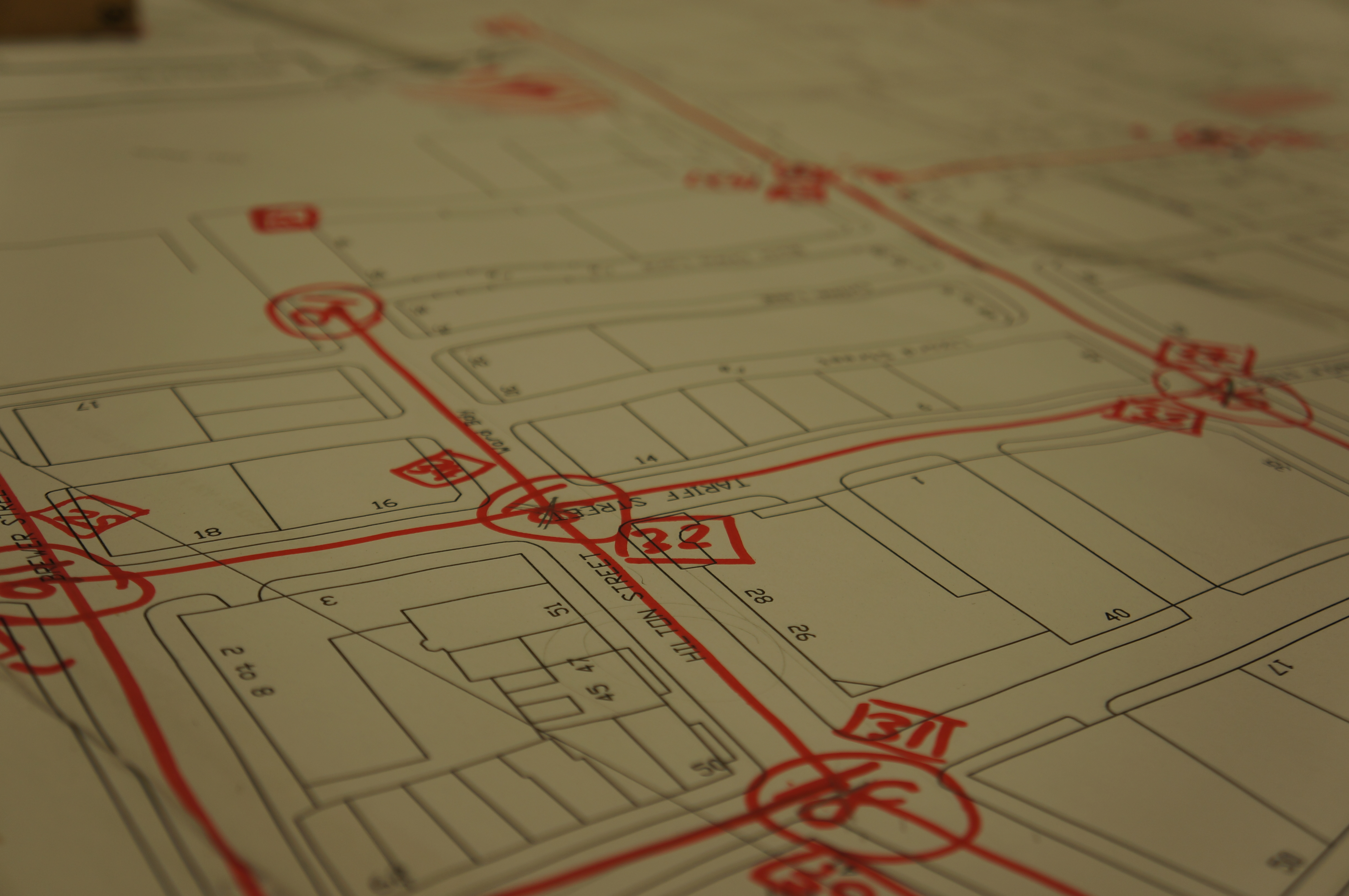
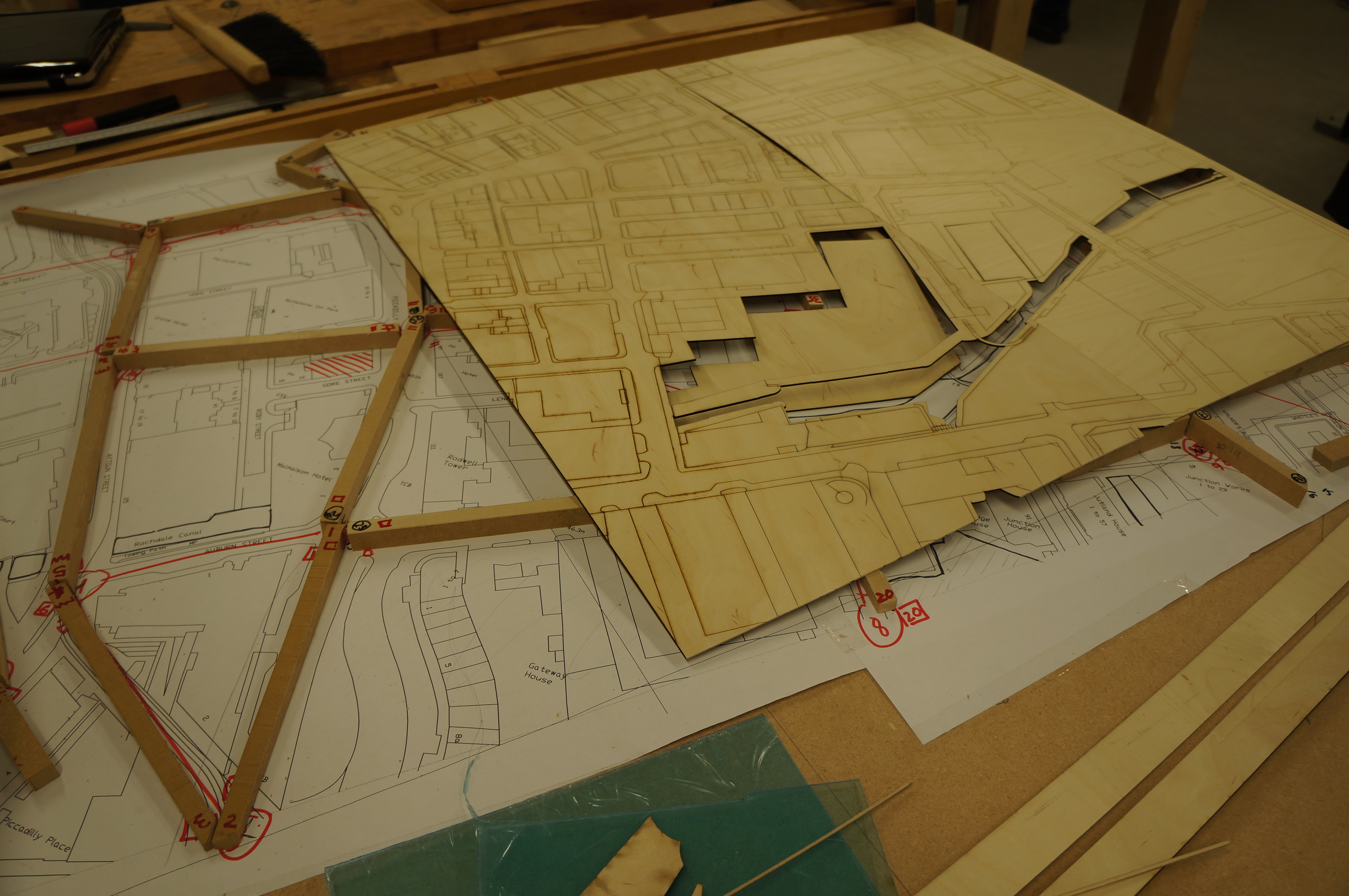
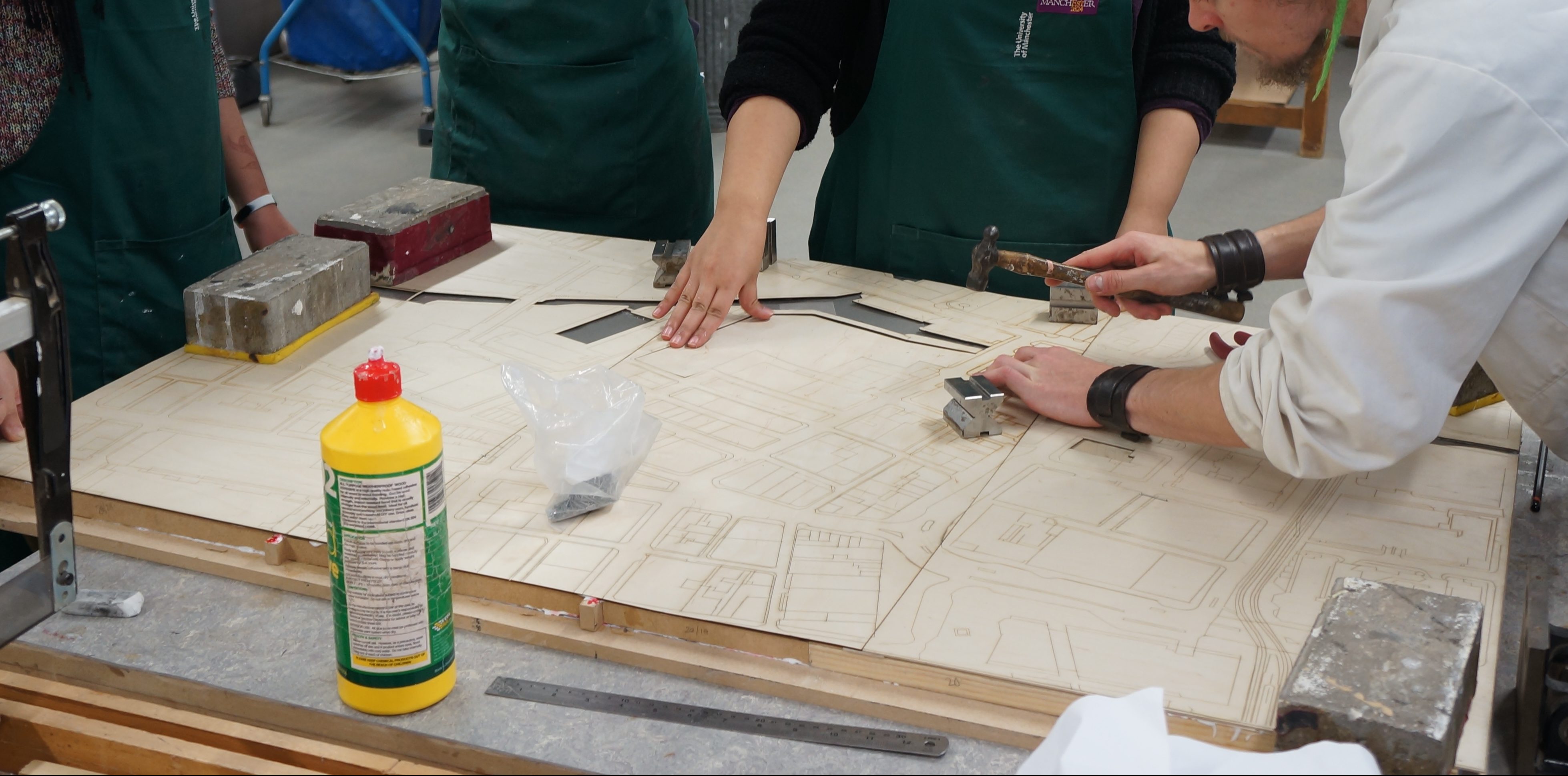
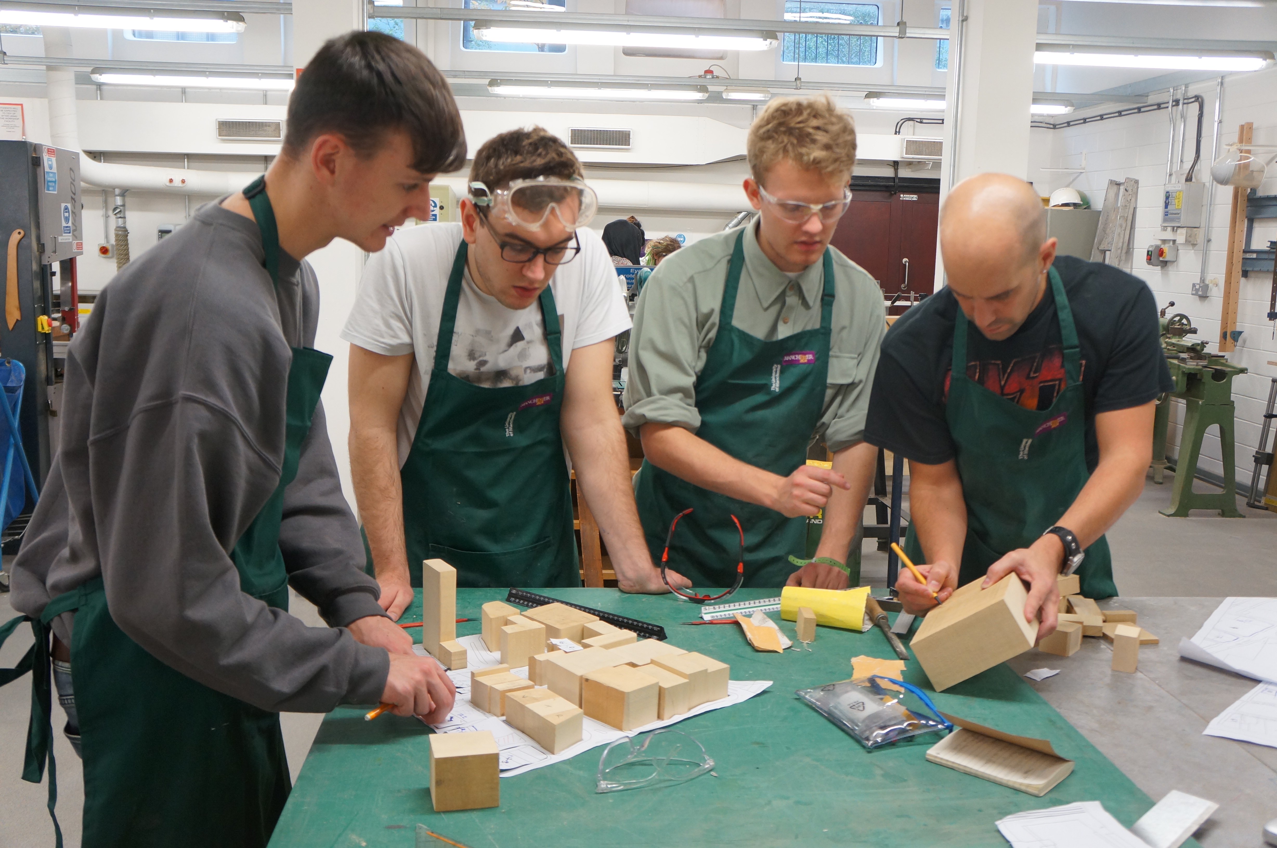
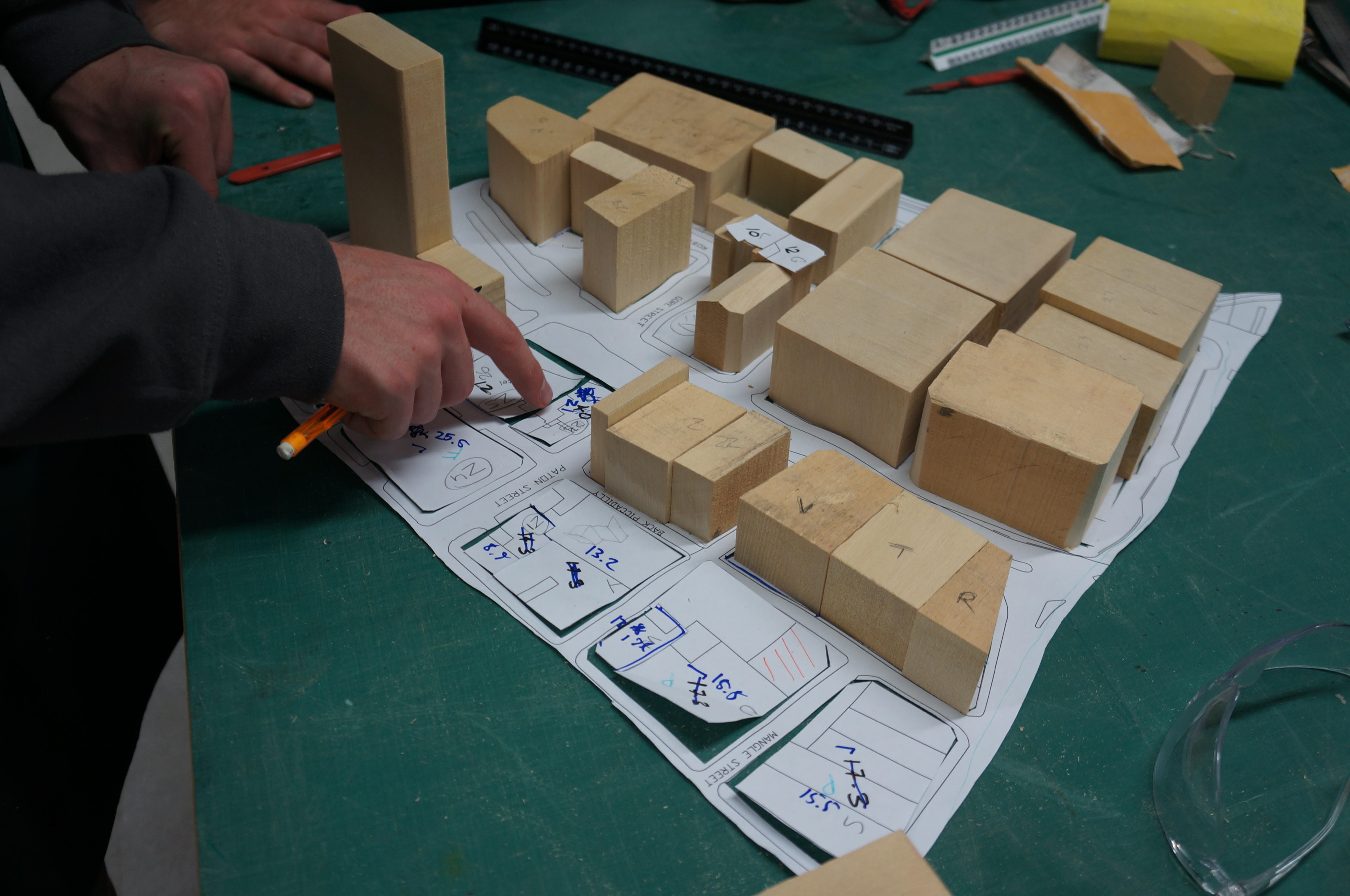
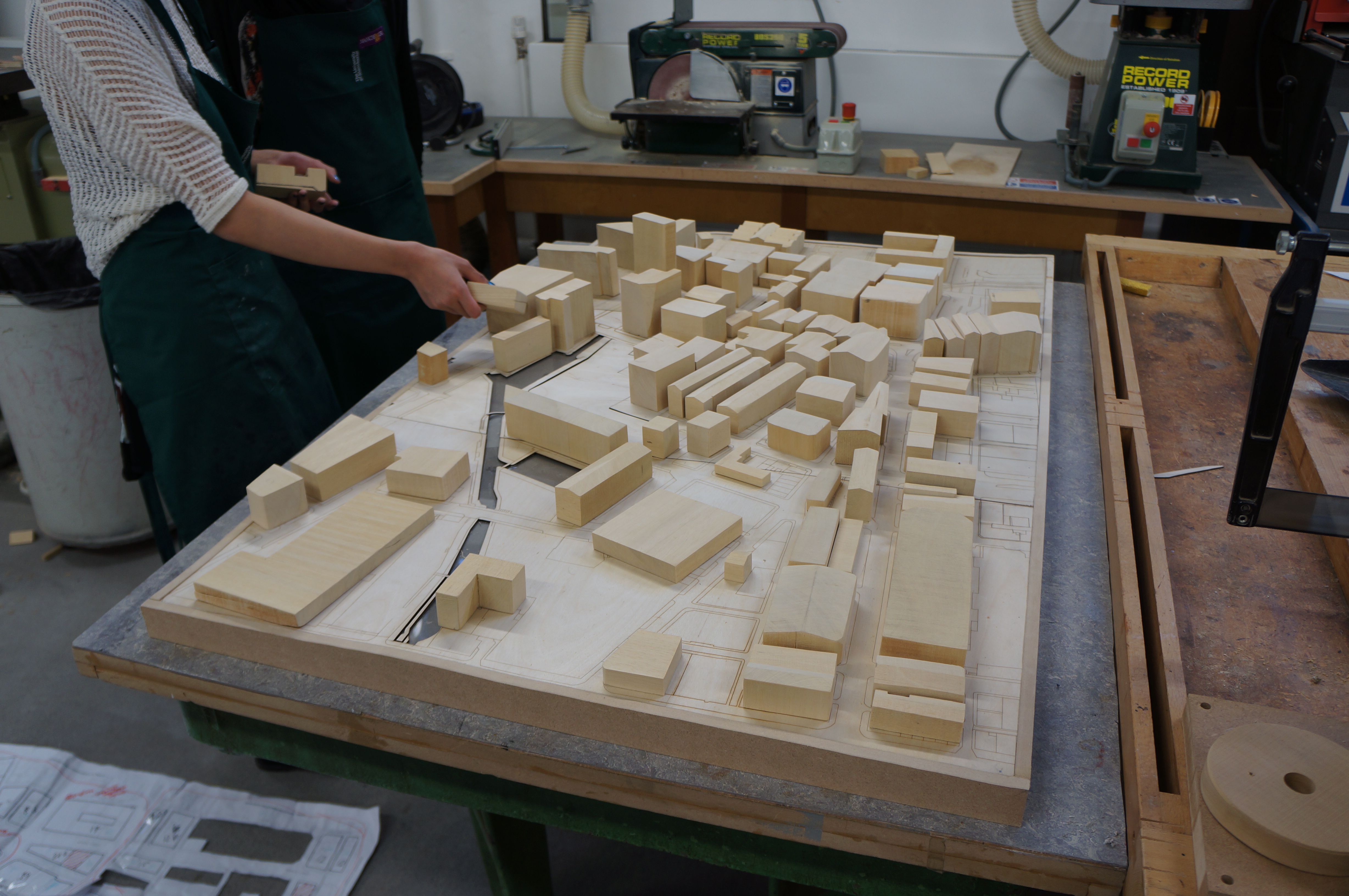
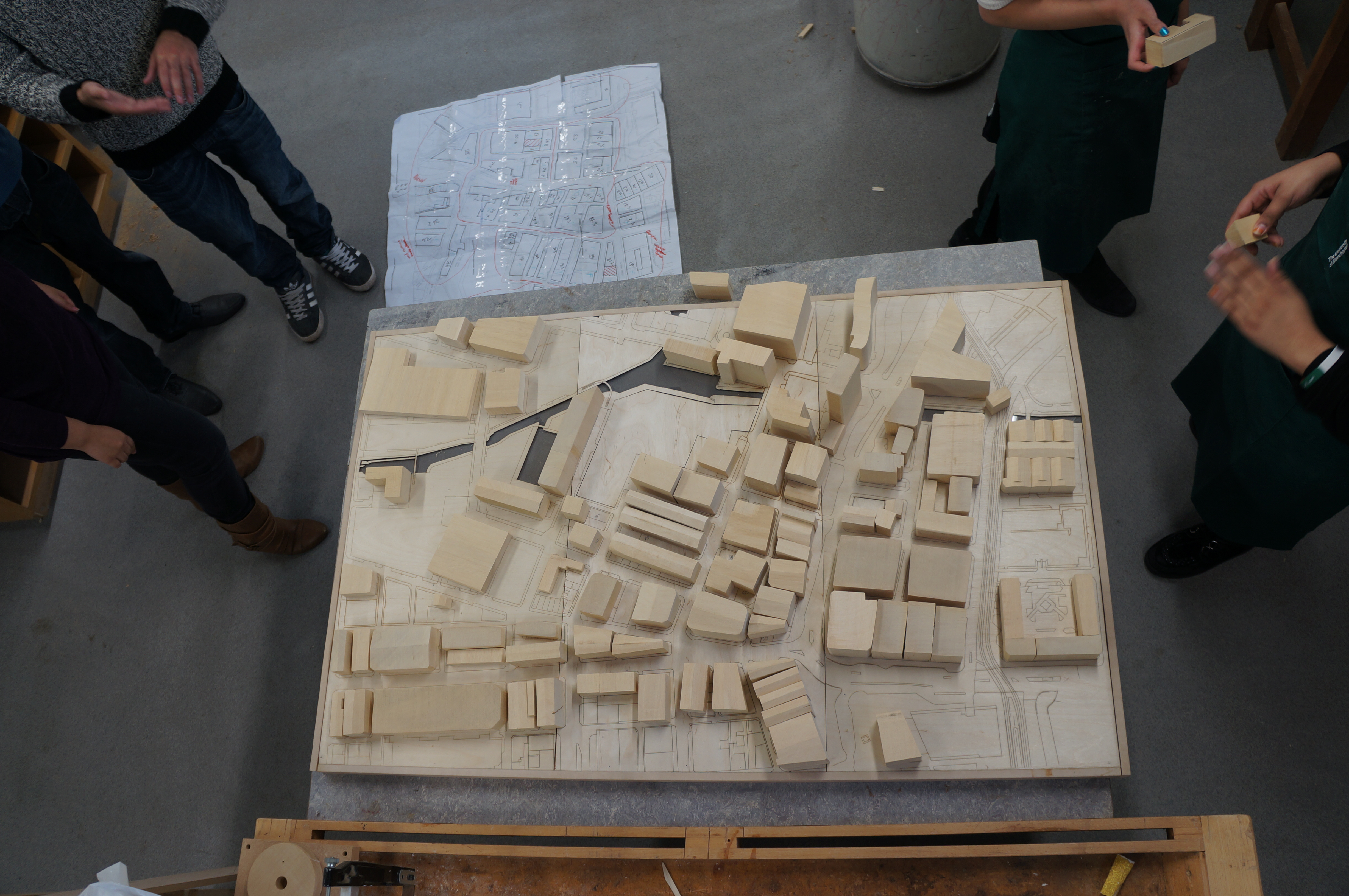
This year 6 project has focussed on the city of Coventry with a view to looking at the functionality of the city post WW2. Given the scale of the area being studied the group chose to produce their master plan at scale 1:1000.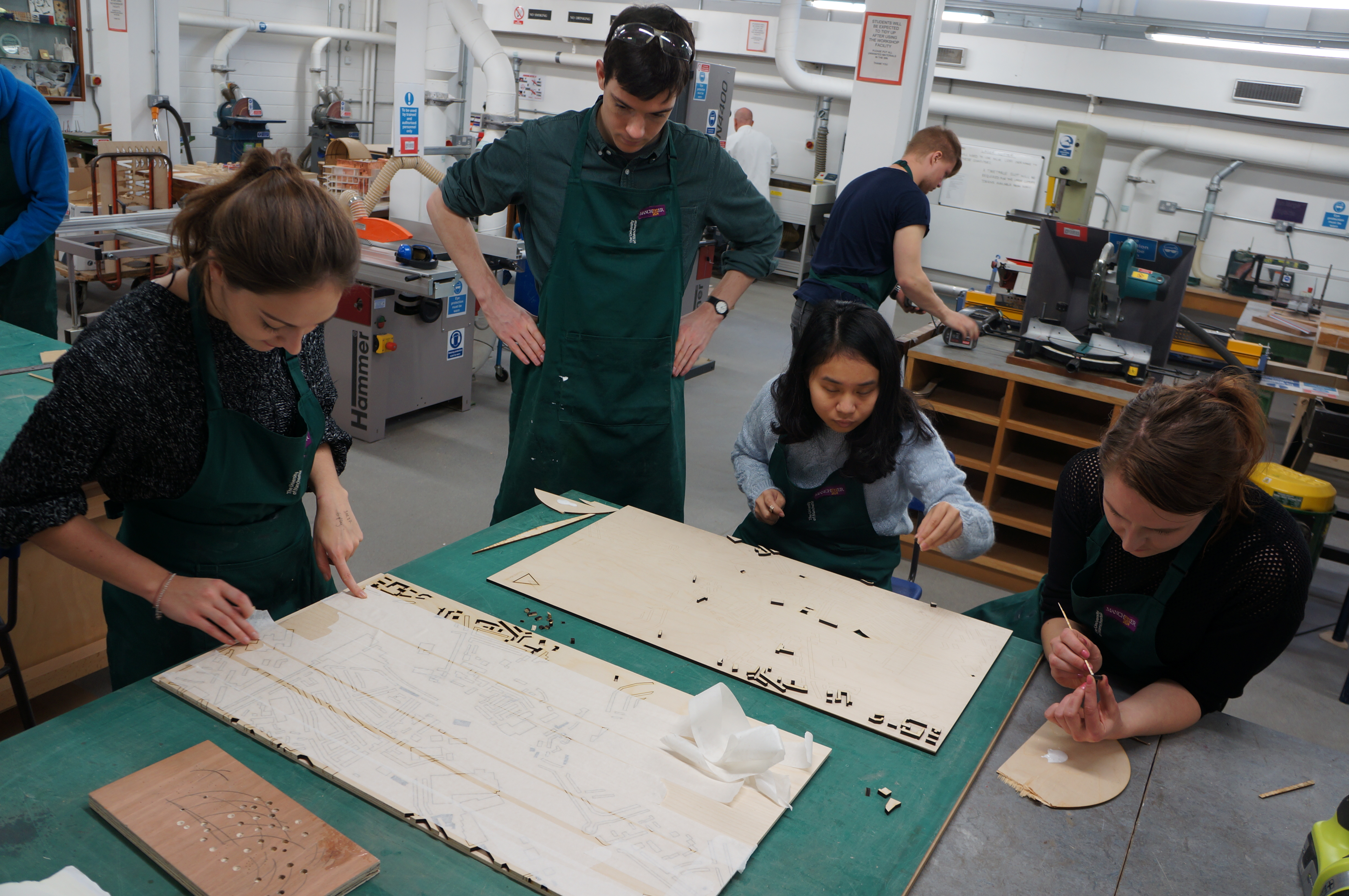 Building heights we created by layering up cut components to an approximate height based on the number of floors at the scale.
 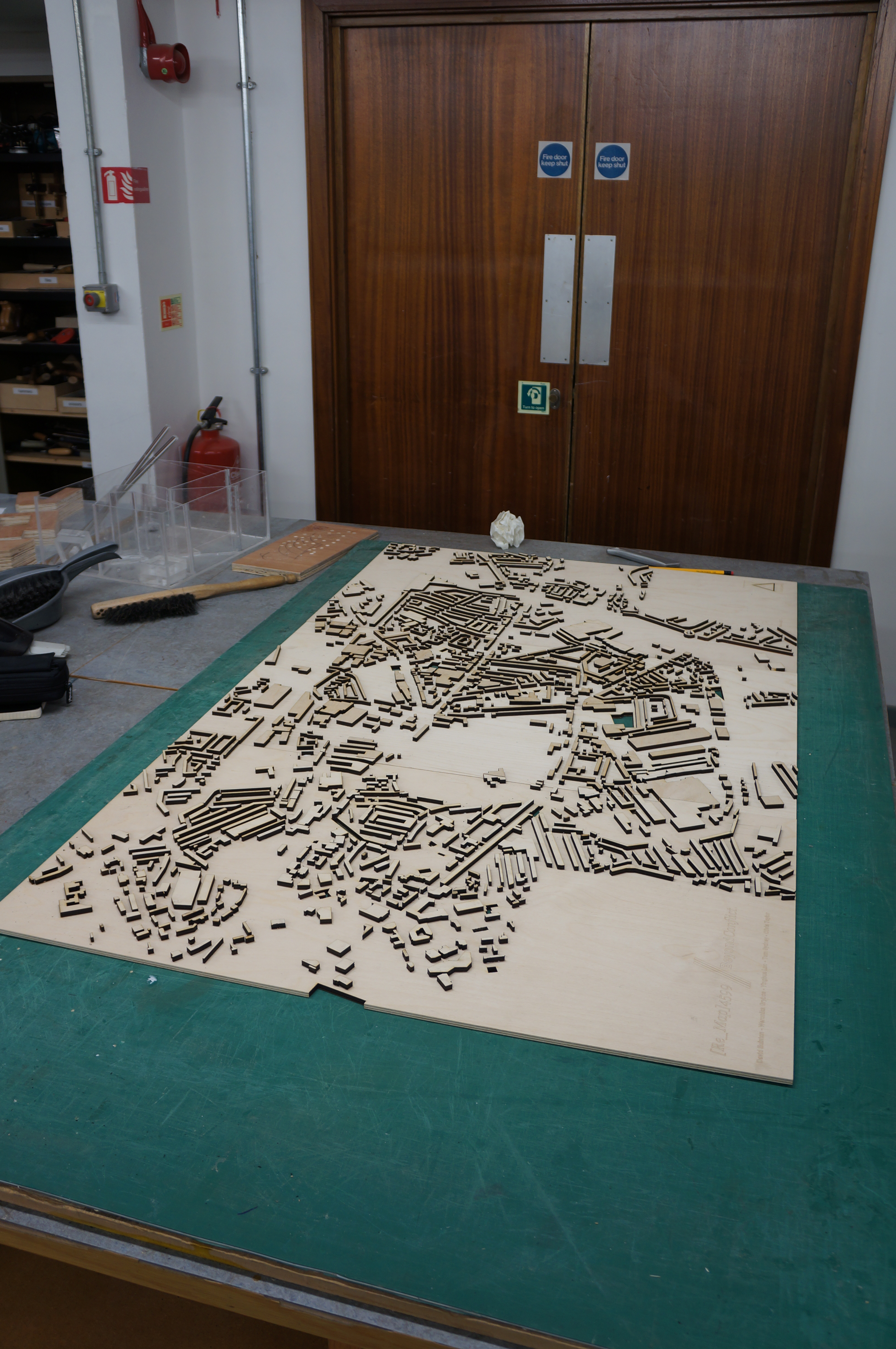 The group had two other methods of conveying their site.. Firstly a projector would be mounted above the model projecting mapping over the model to convey various changes. This required quite a lot of thought and as the group realised, time should always be made for overcoming scaling issues when using projected images.

 Secondly, buildings the group has focussed on across the city were made as separate acrylic blocks assembled in the same manner as the laser cut ply components. There buildings would allow light from the plinth base below to be case upward mapping specific roles of each site.
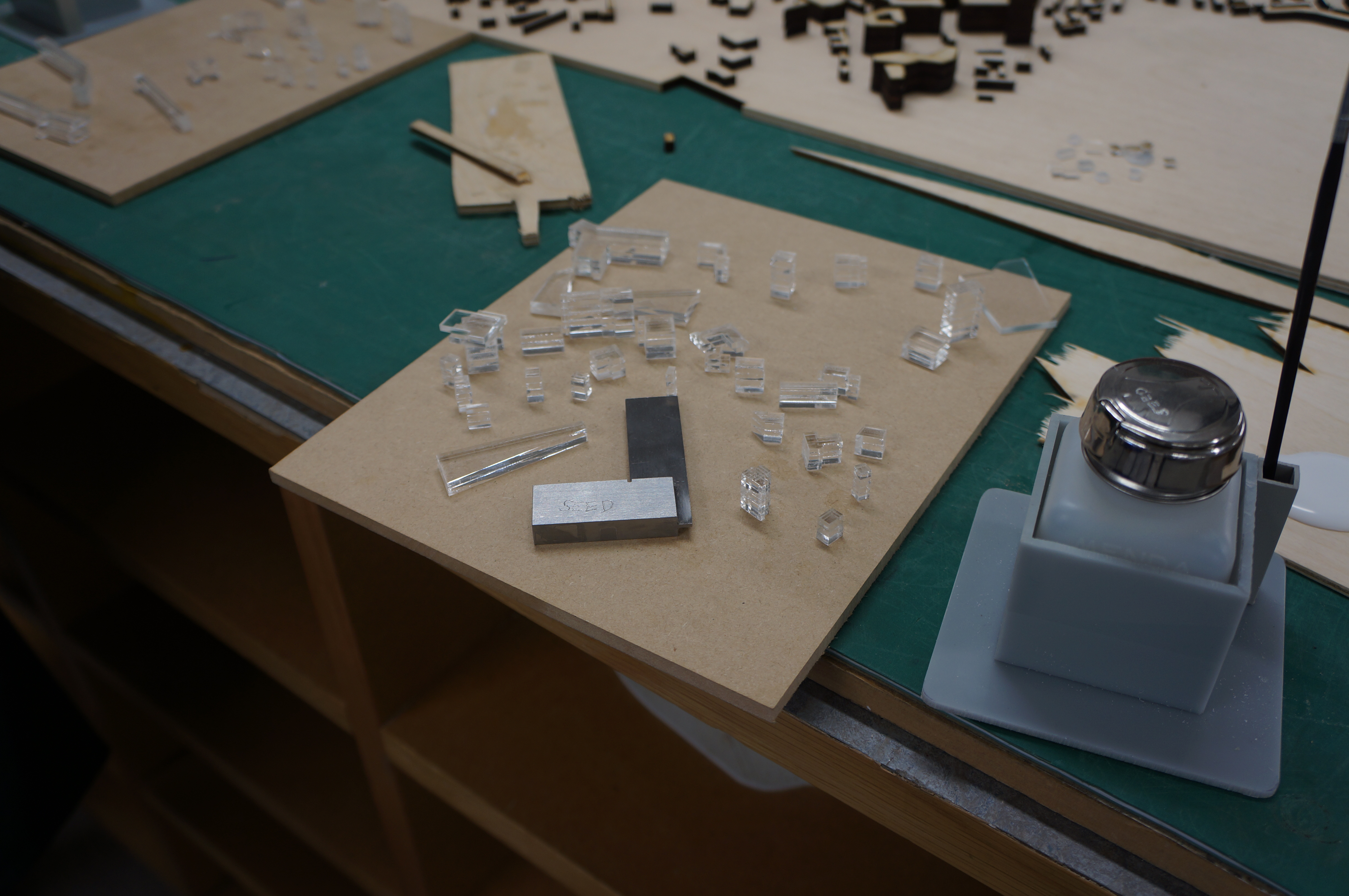
 Plinth construction should always be kept as simple as possible without compromising the strength of the construction. It is important for the sake of material waste and money that any plinths are designed well and used only when necessary.
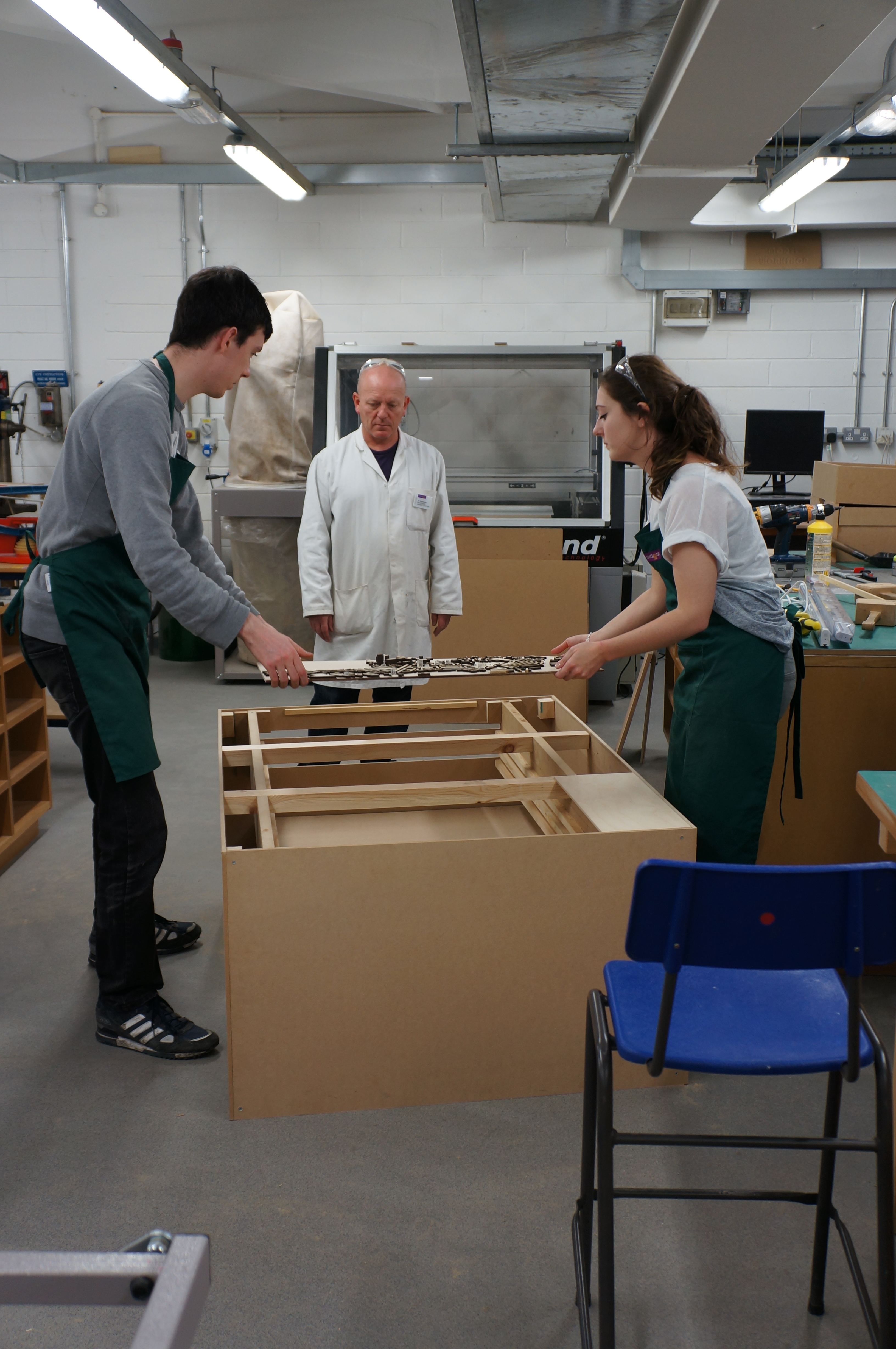
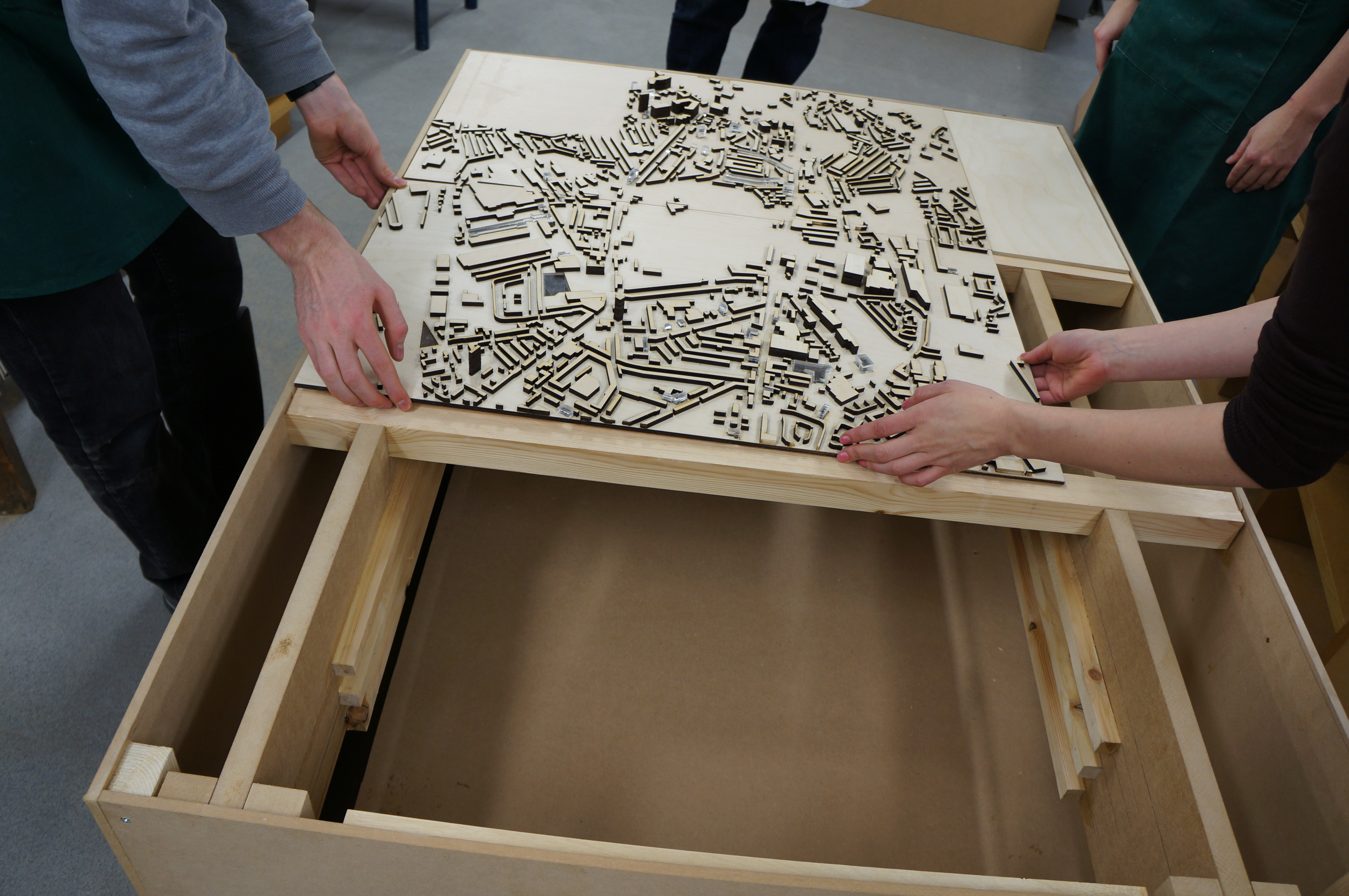 The plinth-base construction was chosen to allow the group to store several map types which can be slotted in place to cast a variety of chosen scenarios across the buildings. This meant the proposals for the site could be demonstrated in variants and allows further proposals to be demonstrated at a later date.
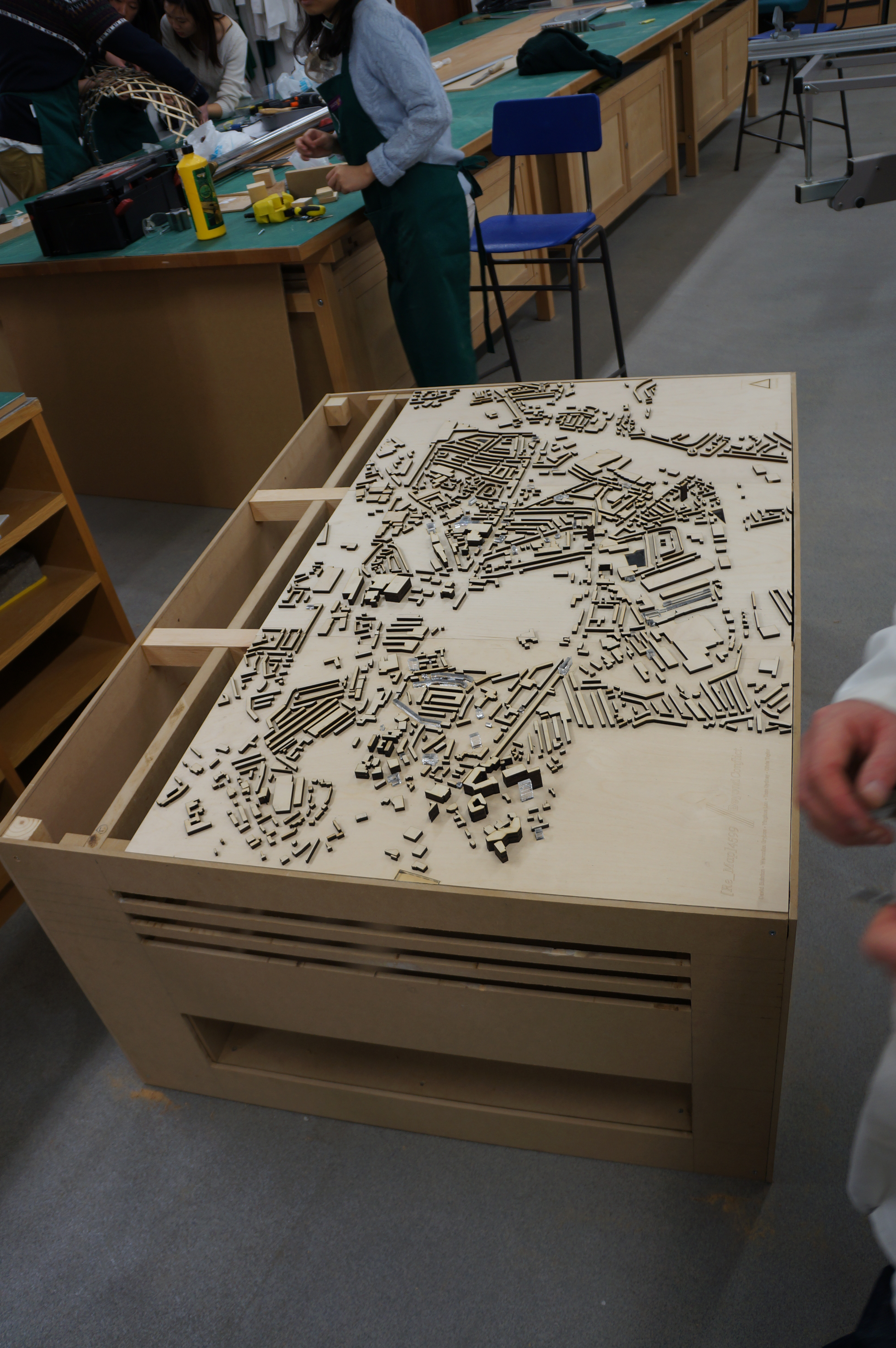
